VA

Fishing in Virginia

Appalachian trout categories · James River fall line · Chesapeake and tidal licensing

What to know before fishing Virginia

Virginia fishing runs from stocked and wild Appalachian trout to Piedmont rivers, large western and central reservoirs, tidal James and Potomac reaches, Chesapeake Bay, and Atlantic surf. Confirm freshwater or saltwater licensing, then the exact water category, land manager, stocking status, flow, or tide that applies.

The Blue Ridge does not fish like Hampton Roads, and a Richmond river trip does not use the same conditions check as a Smith Mountain Lake launch. Virginia's useful planning tools are divided among DWR, the marine agency, national forests and parks, cities, reservoir operators, and public-health authorities.

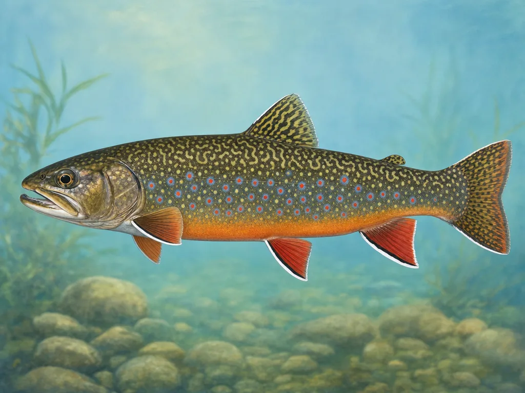
Field-guide illustration of a brook trout representing Virginia's Blue Ridge and Appalachian coldwater streams
Virginia trout water includes stocked reaches, delayed-harvest sections, special-regulation streams, and wild mountain populations.

License

Use Virginia DWR for current freshwater, trout, short-term, and county license options; marine fishing uses a separate state licensing system.

Virginia freshwater fishing licenses

Regulations

Read statewide rules and the current water-specific trout, reservoir, river, and species exceptions; check VMRC separately for tidal saltwater fisheries.

Virginia freshwater fishing regulations

Trout categories are trip instructions

Virginia’s stocked, delayed-harvest, special-regulation, and wild trout waters are managed differently. A daily stocking update can identify recent work, but it does not communicate the tackle rule or reach boundary. Read the named water entry and use land-manager notices in national forest or park country. Rain can make a narrow mountain road or stream crossing the limiting factor even when fishing remains legally open.

The fall line changes both fish and authority

At Richmond, the James moves through rapids into tidal water. Shad, catfish, striped fish, and smallmouth patterns overlap, but access and conditions change along the corridor. The city park system is the right source for parking and trail closures; DWR controls freshwater fishing rules; tidal or marine questions may involve VMRC. Identify the launch or bank before deciding which information applies.

Chesapeake plans begin with weather

Hampton Roads and Chesapeake access includes piers, beaches, bridges, ramps, and boats exposed to tide and wind. Check the closest NOAA station and current marine rule. Western reservoirs have their own level and ramp questions, while Potomac fishing can add boundary licensing. Consumption advisories are water- and species-specific, so use the Department of Health entry for a kept catch rather than a general bay assumption.

Choose an area that fits the trip

Southwest Virginia

Clinch, Holston, New River, mountain reservoirs, and stocked streams combine native biodiversity, trout, smallmouth, and long reservoir arms.

Blue Ridge and Shenandoah

National forest, national park, spring creek, and put-and-take waters require precise boundary, land, and trout-category checks.

Richmond and central Piedmont

James River fall-line access, city parks, impoundments, and Piedmont reservoirs support shad, smallmouth, catfish, bass, and panfish.

Tidewater and Chesapeake

Hampton Roads, tidal rivers, bay piers, Eastern Shore, and Atlantic beaches depend on marine rules, tides, wind, and bridge-tunnel access.

These internal reports are selected from normalized public stocking records. Confirm live access and regulations with the agency before traveling.

State stocking guide →

Official and local planning resources