Great Lakes salmon and lake trout · connecting-water walleye · ice fishing and lake-effect weather
What to know before fishing Michigan
Michigan fishing is organized by Great Lake, watershed, and individual water rather than one statewide opening day. Inland trout streams, salmon rivers, warmwater lakes, connecting waters, and Great Lakes ports carry different seasons and exceptions. Check the regulation map, current stocking data, access site, and marine or ice conditions for the exact trip.
Two peninsulas and four bordering Great Lakes create unusual variety: Detroit-area piers, western salmon ports, northern inland lakes, Upper Peninsula brook-trout water, and major connecting rivers. Species movements, lake effect weather, invasive-species rules, and tribal treaty fisheries all shape responsible planning.
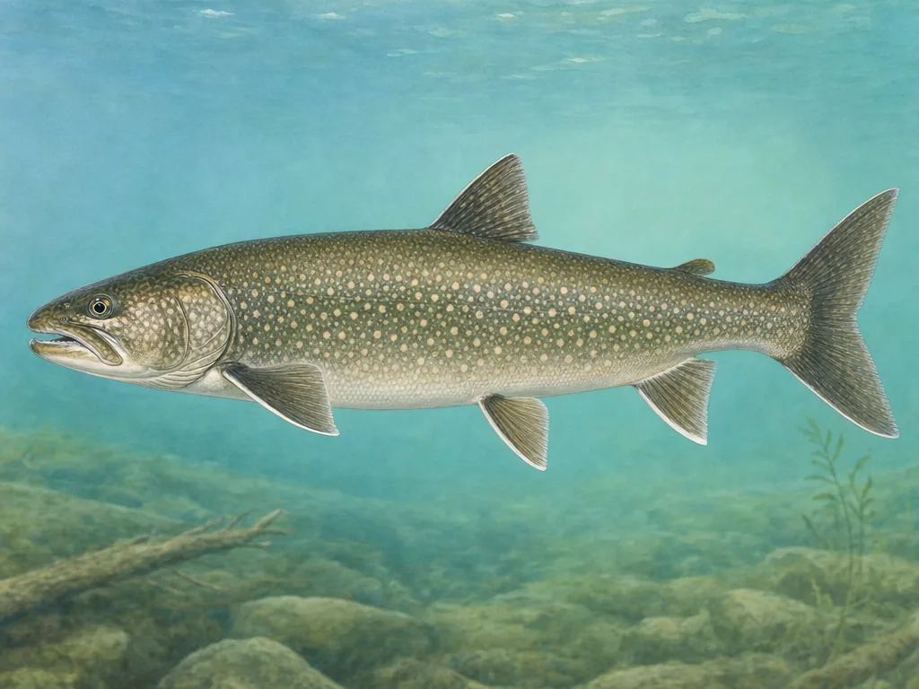
Lake trout are one Great Lakes anchor; salmon runs, walleye waters, inland lakes, and trout streams follow their own maps and seasons.
License
Use Michigan DNR for current license products, age rules, and purchase channels before fishing inland or Great Lakes waters.
A port report is useful only for the Great Lake and current wind it describes. Salmon enter western and northern rivers on different schedules, while walleye move through Detroit, St. Clair, and Saginaw systems. Inland trout rules can change at a bridge or stream type. Use the current water-specific map and do not transfer an opening date from a nearby lake or tributary.
Stocking data needs biological context
Michigan’s database includes Great Lakes, river, and inland plants made for different purposes. A salmon plant may support a migratory fishery far from its release point; a lake trout record may relate to restoration; a small inland lake plant may create a more direct local opportunity. Filter by water and year, then read the regional fishery information before assuming where stocked fish will be available.
Weather separates a plan from a destination
Great Lakes wind can turn a pier, kayak route, or small-boat outing unsafe quickly. In winter, ice varies with current, springs, snow cover, and the immense thermal influence of the Great Lakes. Michigan does not make a calendar promise of safe ice. Check local conditions and carry appropriate safety equipment. Tribal treaty rights and regulations also remain an important part of Great Lakes management; recreational anglers should follow the current state rule while recognizing that shared governance context.
Choose an area that fits the trip
Southeast Michigan
Detroit River, Lake St. Clair, Huron-Erie waters, metro parks, and inland lakes concentrate shore, boat, walleye, bass, and panfish access.
West Michigan
Lake Michigan ports and rivers such as the St. Joseph, Grand, Muskegon, and Manistee connect salmon runs with inland trout and warmwater fisheries.
Northern Lower Peninsula
Au Sable, Boardman, inland lakes, and Lake Huron ports support trout, salmon, lake trout, walleye, and extensive public-land access.
Upper Peninsula
Lake Superior bays, Lake Michigan shore, remote trout streams, and inland lakes require longer travel, changing weather, and careful ice or road checks.
Stocking records for selected waters
These internal reports are selected from normalized public stocking records. Confirm live access and regulations with the agency before traveling.