What the current report shows
Colorado Parks and Wildlife’s current fish stocking report lists trout waters by region and report date. The page currently shows report entries dated August 7, 2026, including Taylor Reservoir, Rio Grande Reservoir, Mirror Lake, Tincup Pond, Mount Elbert Forebay, North Fork Reservoir, Tarryall Reservoir, Vallecito Reservoir, Animas River #2, and other waters.
Each report entry has an Atlas link. CPW says the Colorado Fishing Atlas can show the exact location of the body of water and additional information such as access, boating, fishing pressure, and other water details.
That two-part system is the key to using Colorado’s stocking report:
- Use the report to find recent activity and a named water.
- Use the Atlas to understand where the water is and what trip-planning details are available.
- Check the current fishing brochure and any local notice before fishing.
A dated USAStockedFish snapshot
The local normalized snapshot used by USAStockedFish was retrieved on July 19, 2026. It contains 73 Colorado rows labeled completed across 63 waters, all for catchable trout. The table below shows a small sample of rows dated July 17:
| Water | CPW region in snapshot | Species | Status in snapshot |
|---|---|---|---|
| Beaver Creek Reservoir | Southwest | Catchable Trout | Completed |
| Berry Creek Pond | Northwest | Catchable Trout | Completed |
| Camp Hale Pond | Northwest | Catchable Trout | Completed |
| Catamount Reservoir South | Southeast | Catchable Trout | Completed |
| Chalk Creek Lake | Southeast | Catchable Trout | Completed |
| Crystal Creek Reservoir | Southeast | Catchable Trout | Completed |
This is a dated research snapshot, not a replacement for CPW’s current report. The live CPW page is newer than the local table and controls what is current.
How to read a Colorado report date
A report date is useful evidence that CPW has a recent stocking entry for that water. It is not the same thing as:
- a current water-temperature reading;
- a current flow or reservoir-level reading;
- a guarantee that fish remain in the same area;
- a statement that the water is open or accessible;
- a prediction of catch rate.
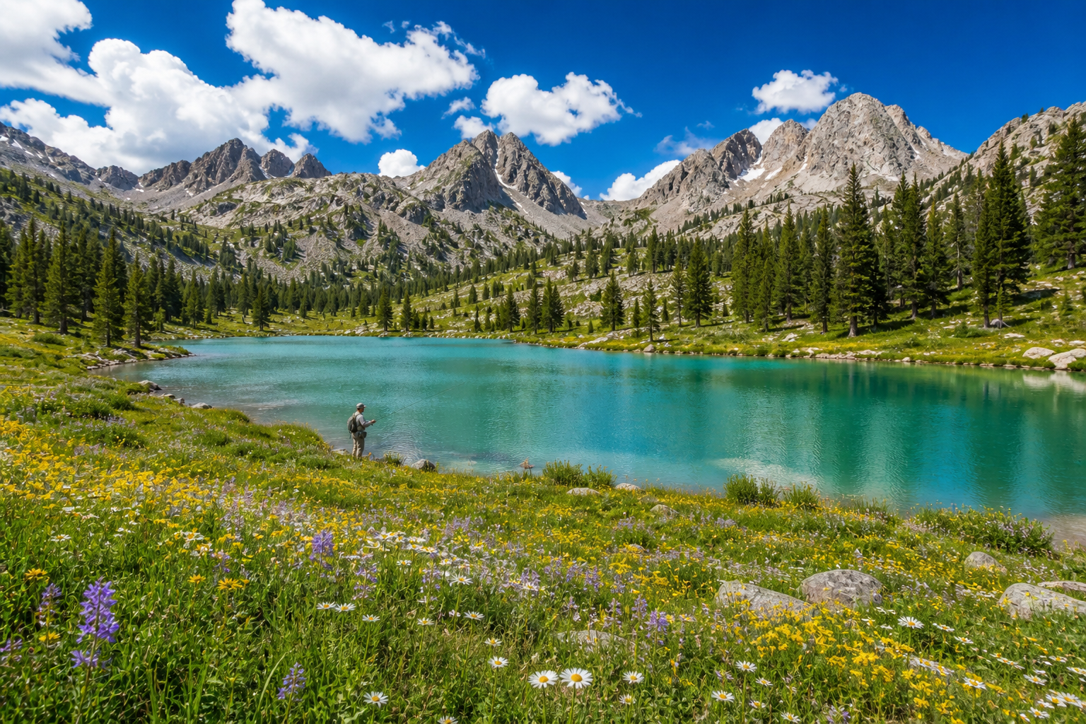
Do not use the hero image on this page as evidence of Colorado’s current conditions. It is illustrative.
The best wording is specific: “CPW’s report lists this water with a July 17 report date” or “the current report includes an August 7 entry.” Avoid turning that into “the lake was stocked today” unless the underlying source clearly says so.
Use the Fishing Atlas before you drive
The Atlas is where the report becomes a trip-planning tool. CPW says its entries can provide:
- the exact location of the body of water;
- ease-of-access information;
- boating information;
- fishing pressure;
- other available water details.
Open the Atlas entry even if you already know the lake name. Colorado has many similarly named waters, and the report’s region is not a substitute for an access check. If the Atlas has incomplete information, use the current Colorado fishing resources and local land-manager notices.
What “catchable trout” means here
The local snapshot uses the source label Catchable Trout. That is a species/size category in the stocking data, not an angler outcome. It does not mean every fish will be easy to catch, that the fish are still shallow, or that the water is managed for harvest in the same way as every other trout water.
Use the rainbow trout profile for general species context, then return to the water-specific CPW source. Regulations, season dates, and special rules belong to the official Colorado rulebook and water entry.
A source-first Colorado trip check
Before fishing a water from the report:
- Confirm the water name and region.
- Open the linked Atlas entry.
- Check whether the report date is completed, planned, or otherwise qualified.
- Review the current Colorado fishing brochure and license information.
- Check road, trail, ramp, land-manager, and closure notices.
- Check current weather and water conditions close to departure.
- Treat the stocking record as one useful input, not a guarantee.
The Colorado state stocking page provides additional program context and a dated local snapshot. The near-me stocking tool can help you compare candidate waters, but CPW’s live report and Atlas remain the authority for a current trip.
Frequently asked questions
Where can I find the Colorado fish stocking report?
Use CPW’s Fish Stocking Report. The page lists water, region, report date, and an Atlas link.
Does a Colorado report date mean fish were stocked that day?
Treat it as the date CPW reports for that entry. Read the live row and any qualification before rewriting it as a completed event. The report date does not provide current water conditions or catch rates.
How do I check access to a stocked Colorado lake?
Open the CPW Atlas link attached to the report row. CPW says the Atlas can provide location, access, boating, fishing pressure, and other water information. Confirm current notices before traveling.
How current is the USAStockedFish Colorado table?
The local table used for this article was retrieved July 19, 2026. It is a dated snapshot. CPW’s live report, accessed August 11, 2026, is the current source of record.