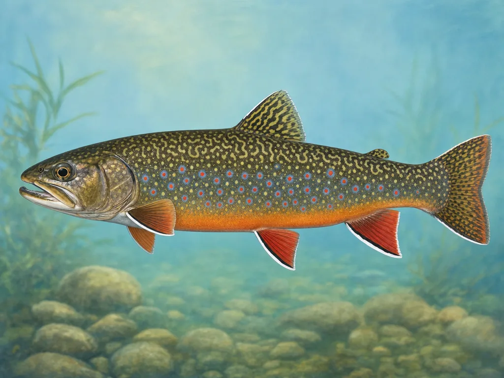
frequent mountain trout stocking · New River Gorge smallmouth · steep access and flashier flows
What to know before fishing West Virginia
West Virginia fishing follows mountain watersheds, access roads, rainfall, and stocking categories. Hatchery-supported trout streams, wild headwaters, New and Gauley river smallmouth water, Ohio River pools, flood-control lakes, and city parks require exact reach rules, land-manager checks, flow information, and fish advisories.
Steep terrain compresses many fisheries into narrow valleys while increasing travel time between them. Public land in Monongahela National Forest and national parks expands access, but private streambanks, railroad corridors, dam releases, floods, and winter roads still define practical entry.
West Virginia's trout program mixes frequent hatchery support with wild mountain populations and reach-specific special regulations.
License
Use West Virginia DNR for current resident, nonresident, trout, conservation, lifetime, and short-term requirements.
A recently stocked stream may include general harvest water, delayed-harvest sections, catch-and-release reaches, or fly-fishing-only rules nearby. Read the named boundary and signage before fishing. The update establishes agency activity but not private-bank permission. Wild brook-trout headwaters may have conservation rules and should not be treated as extensions of the catchable program.
Mountain rain travels downhill quickly
Localized storms can raise a steep watershed even when the access remains dry. Use the nearest gauge and pay attention to upstream weather. Tailwaters add release changes from dams. Winter roads, rockfall, and flooding can close a route long after a regulation document was published, making forest or park notices the correct access source.
Gorge and big-river access require a route
The New and Gauley offer productive flowing water but also rapids, cliffs, rail corridors, and limited entry. Choose a designated trail, ramp, or park access rather than improvising from the highway. Ohio and Kanawha navigation pools introduce commercial traffic and strong current near structures. For kept fish, consult the advisory by river reach because recommendations can change along the same watershed.
Choose an area that fits the trip
Potomac Highlands
North Branch, South Branch, Cheat headwaters, limestone springs, and high-elevation streams support stocked and wild trout under winter access constraints.
New River and southern coalfields
New, Gauley, Bluestone, and tributaries support smallmouth, muskie, catfish, and trout amid gorges, rapids, and limited bank access.
Charleston and central lakes
Kanawha River, Elk, Coal, Summersville, Sutton, and community waters provide tailwater, reservoir, bass, catfish, crappie, and urban access.
Ohio River and northern waters
Navigation pools, Monongahela tributaries, Tygart, Stonewall Jackson, and Cheat systems require current, dam, border, and ramp checks.