SD

Fishing in South Dakota

northeast prairie-lake ice fishing · Missouri River reservoir corridor · Black Hills trout island

What to know before fishing South Dakota

South Dakota fishing divides among northeast glacial lakes, Missouri River reservoirs, Black Hills trout water, prairie stock dams, and city lakes. Check the individual water's regulation and access, then stocking or survey data, reservoir level, river stage, wind, algae notice, and current ice evidence.

The east offers dense natural-lake and winter opportunity, the Missouri cuts a reservoir corridor through the center, and the Black Hills create a high-elevation coldwater island in the west. Drought and strong wind can influence every region.

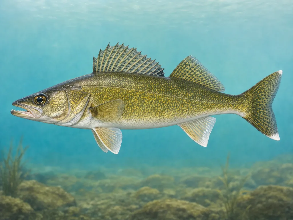
Field-guide illustration of a walleye representing South Dakota's glacial lakes and Missouri River reservoirs
Walleye link prairie lakes with the Missouri reservoir chain, while Black Hills trout occupy a separate high-elevation fishery.

License

Use South Dakota Game, Fish and Parks for current resident, nonresident, youth, paddlefish, and short-term license products.

South Dakota fishing licenses

Regulations

Read current statewide rules and special provisions for border waters, Missouri River reaches, trout, paddlefish, bait, and ice shelters.

South Dakota fishing regulations

Prairie lakes can change within a few years

Water levels, winterkill, new connections, and fish movement can transform shallow glacial waters. Use current surveys and stocking reports instead of assuming an old lake reputation persists. Public access may move as water rises or falls. Wind can make exposed basins hazardous even on clear days and can fracture or pile winter ice.

The Missouri is a chain, not one lake

Oahe, Sharpe, Francis Case, and Lewis and Clark differ in depth, flow, shoreline, ramps, and fish communities. Dam operation connects them but does not make reports transferable. Select the reservoir reach and facility, then check level and forecast. Salmon stocking in Oahe supports a large, multi-year fishery; city trout plants around Sioux Falls have a much more local timeline.

Black Hills timing follows elevation

Mountain streams and reservoirs can retain ice or snow after prairie waters open. Later, wildfire and intense rain can close roads or affect streams. National forest notices confirm access. Natural ice anywhere in South Dakota remains variable near current, springs, pressure ridges, and aerators. Seek recent local evidence and check consumption guidance for a kept catch from the exact lake or river reach.

Choose an area that fits the trip

Northeast glacial lakes

Watertown, Webster, Lake Poinsett, Waubay, Bitter, and surrounding waters support walleye, perch, pike, bass, and extensive ice fishing.

Missouri River corridor

Oahe, Sharpe, Francis Case, and Lewis and Clark reservoirs support walleye, salmon, catfish, paddlefish, and long wind-exposed boat trips.

Sioux Falls and southeast

Big Sioux River, city ponds, glacial lakes, and Missouri tributaries provide urban trout, catfish, panfish, bass, and river access.

Black Hills

Rapid Creek, Spearfish Creek, Pactola, Sheridan, and mountain streams support trout under forest, fire, road, and winter conditions.

Official and local planning resources