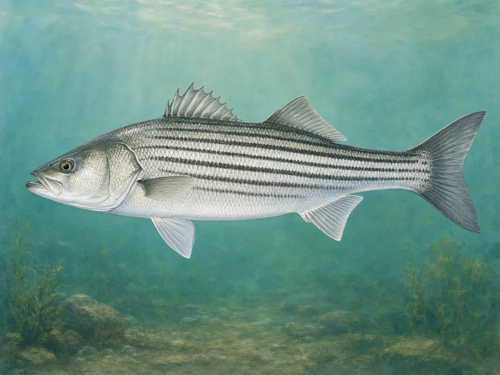
mountain trout and deep reservoirs · Santee Cooper catfish and striped fish · Lowcountry tidal creeks
What to know before fishing South Carolina
South Carolina fishing moves from Upstate trout streams and clear reservoirs through Piedmont rivers and Midlands lakes to blackwater systems, tidal marsh, beaches, and offshore reefs. Check freshwater or saltwater rules, the exact access owner, stocking record, dam or river condition, tide, weather, and fish advisory.
The Blue Ridge edge creates a small but important coldwater zone, while reservoir chains on the Savannah, Saluda, Catawba, and Santee systems dominate inland fishing. Below the fall line, floodplain and tidal dynamics replace mountain flow and elevation.
Striped bass are a major reservoir fish, while Upstate trout and Lowcountry marine species follow sharply different access and rule systems.
License
Use South Carolina DNR for current freshwater, saltwater, temporary, disability, pier, and residency requirements.
South Carolina trout water is limited to mountain streams, selected tailwaters, and cold lake habitat. Stocking records can identify agency work, but the stream’s special rule, national forest boundary, and current flow determine the trip. The Chattooga also forms a state boundary, so license and bank location deserve explicit attention.
Reservoir chains have operational personalities
Jocassee’s depth and steep access differ from Lake Murray’s developed shoreline and the shallow, timbered Santee Cooper system. Dam releases affect tailwaters and connected rivers, while pool levels affect ramps. Identify the facility and project operator. Stocking of striped fish or other reservoir species supports long-term management rather than a catchable schedule.
Tidal creeks turn on water movement
Lowcountry marsh access can shrink dramatically at low tide, and wind can oppose current in broad sounds or harbors. Match a nearby tide station to the launch, then check marine species rules and shellfish closures. Flooding and tropical storms can close roads, piers, or parks. In Congaree and other floodplains, river stage determines whether trails and banks are usable even without local rainfall.
Choose an area that fits the trip
Upstate mountains and foothills
Chattooga, Saluda headwaters, mountain streams, Jocassee, Keowee, and Hartwell support trout, bass, crappie, and deep coldwater species.
Columbia and Midlands
Lake Murray, Broad and Saluda rivers, Congaree, city access, and state parks provide striped fish, bass, catfish, bream, and river fishing.
Santee and coastal plain
Marion, Moultrie, Santee River, blackwater tributaries, and floodplain lakes emphasize catfish, bass, crappie, bream, and changing water levels.
Lowcountry and Grand Strand
Tidal creeks, Charleston Harbor, ACE Basin, piers, surf, inlets, and offshore water require tides, marine rules, closures, and storm checks.
Stocking records for selected waters
These internal reports are selected from normalized public stocking records. Confirm live access and regulations with the agency before traveling.