RI

Fishing in Rhode Island

trout ponds near tidal water · Narragansett Bay shore access · breachways and Block Island surf

What to know before fishing Rhode Island

Rhode Island's small map connects stocked ponds and streams, Providence waterways, tidal rivers, Narragansett Bay, breachways, beaches, and Block Island. Identify freshwater or marine rules first, then the exact access owner, trout closure, tide, wind, surf, shellfish closure, and fish-consumption advisory.

Short distances make combined freshwater and saltwater days possible, but the source path changes at the tide line. State management areas, municipal parks, private shoreline, federal refuges, harbor facilities, and coastal rights all affect practical entry.

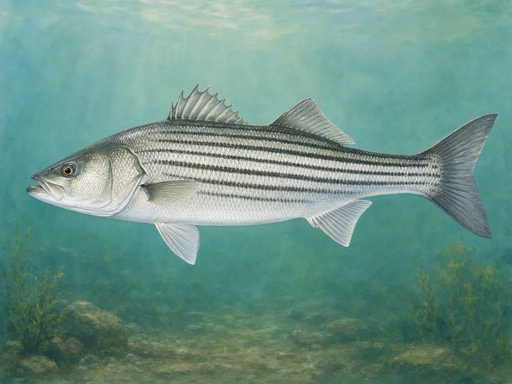
Field-guide illustration of a striped bass representing Rhode Island's bay, breachway, and Atlantic shoreline fishing
Striped bass connect tidal rivers, Narragansett Bay, breachways, and island surf; inland trout waters use a separate seasonal program.

License

Use Rhode Island DEM for current freshwater licenses and trout stamps; verify the recreational saltwater license and exemptions for marine trips.

Rhode Island fishing licenses

Regulations

Read current freshwater, trout, border-water, and special-area rules and consult marine fisheries regulations for coastal species.

Rhode Island fishing regulations

The tide line changes the rule set

Freshwater licenses and trout provisions do not describe marine fishing in Narragansett Bay or the Atlantic. Confirm saltwater credentials, species rules, and where tidal jurisdiction begins. A river mouth can place freshwater and marine targets close together while retaining distinct seasons and reporting systems.

Trout closures are water-specific

Rhode Island stocks selected ponds and streams and may close designated waters before opening day. Use the current map and date. A stocked pond can sit inside a city, state area, or property with separate parking and hours. Small size does not guarantee complete shore access; respect private land and use designated entries.

Shore access is conditions-dependent

Breachways and rocky points concentrate current and waves. A tide prediction does not replace surf and wind information, and protected shorebird closures can alter beaches during migration and nesting. Refuge pages and local notices confirm current entry. Shellfish closures use a separate public-health system. For finfish kept from a pond, river, or bay, consult the relevant state consumption advice rather than one generic coastal assumption.

Choose an area that fits the trip

Providence metropolitan area

Urban ponds, Blackstone and Woonasquatucket corridors, Seekonk tidal water, and bay access combine park, river, and marine opportunities.

Northern and western ponds

Glacial ponds, reservoirs, trout streams, and management areas support trout, bass, pickerel, panfish, and seasonal boating.

Narragansett Bay

Piers, islands, tidal rivers, coves, bridges, and harbor shorelines support striped bass, scup, tautog, bluefish, and shellfish under tide and access rules.

South County and Block Island

Breachways, salt ponds, beaches, refuge land, and exposed island coast require surf, tide, protected-species, and seasonal parking checks.

Official and local planning resources