NC

Fishing in North Carolina

classified Appalachian trout water · tribal fishing jurisdiction · sounds, inlets, and Outer Banks surf

What to know before fishing North Carolina

North Carolina fishing crosses Appalachian trout streams, Piedmont reservoirs, coastal-plain rivers, sounds, surf, and offshore water. Begin by identifying inland, joint, or coastal jurisdiction, then check the trout-water classification, reservoir manager, local access, river flow, tide, and current harvest advisory for that destination.

The state's long east–west gradient creates real regional specialties: hatchery-supported and wild trout in the mountains, bass and catfish reservoirs around major metros, shad and striped fish in coastal rivers, and surf or sound fishing along the Outer Banks.

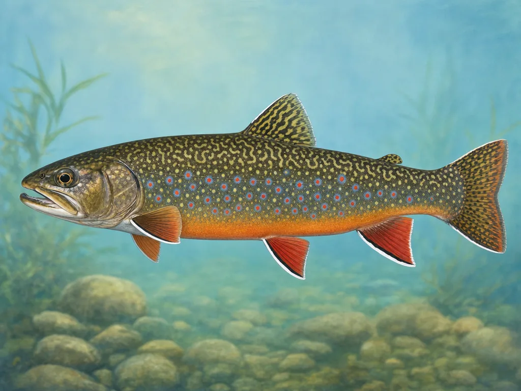
Field-guide illustration of a brook trout representing western North Carolina's cold mountain streams
Mountain trout rules change by water classification and jurisdiction, including state, federal, private-easement, and Cherokee enterprise waters.

License

Use the Wildlife Resources Commission for inland licenses and privileges; coastal recreational fishing requirements are coordinated with the marine agency.

North Carolina fishing licenses

Regulations

Read current inland rules, trout classifications, game-land provisions, and named-water exceptions; use Marine Fisheries rules for coastal species.

North Carolina inland fishing regulations

Trout color codes are practical rules

Hatchery-supported, delayed-harvest, wild, special-regulation, and wild-trout natural-bait waters each communicate a different season or method. Confirm the posted category and reach rather than applying a county-wide assumption. Cherokee enterprise waters require a tribal permit and their own rules; a North Carolina inland license alone does not authorize that trip.

Piedmont reservoirs have many owners

Catawba and Yadkin chain reservoirs may involve power companies, counties, state parks, municipalities, and federal facilities. The public fishery does not make every shoreline public. Identify the ramp, pier, or park and check levels, construction, and gate times. A historical stocking record for striped fish or other species is management evidence, not proof of recent location.

Coastal jurisdiction changes upriver

North Carolina divides inland, joint, and coastal fishing waters. That boundary affects agency rules and can occur within a river system. Coastal trips also require a tide and wind plan, while hurricane recovery can alter ramps and beaches. At Cape Hatteras, vehicle corridors and wildlife closures change access during the year. Match the advisory to the named river, sound, or species when keeping fish.

Choose an area that fits the trip

Western mountains

Cherokee, Pisgah, Nantahala, Blue Ridge, and foothill streams include hatchery-supported, delayed-harvest, wild, and tribal trout waters.

Charlotte and central Piedmont

Catawba reservoirs, city lakes, Yadkin systems, and park ponds provide bass, crappie, catfish, and seasonal trout near growing metros.

Triangle and eastern rivers

Falls, Jordan, Kerr, Neuse, Tar, and Roanoke systems mix reservoir access, anadromous runs, floodplain habitat, and changing river levels.

Sounds and Outer Banks

Pamlico and Albemarle sounds, inlets, piers, surf, and offshore water depend on marine rules, tides, wind, closures, and storm impacts.

These internal reports are selected from normalized public stocking records. Confirm live access and regulations with the agency before traveling.

State stocking guide →

Official and local planning resources