NJ

Fishing in New Jersey

trout-stocked stream closures · water-supply reservoir permits · Jersey Shore surf and inlets

What to know before fishing New Jersey

New Jersey fishing combines seasonal trout streams, water-supply reservoirs, urban park lakes, Delaware River, tidal estuaries, surf, inlets, and offshore water. Confirm freshwater or marine requirements, then the exact stocked section, property permit, tide, river flow, beach access, and fish-consumption advisory.

Dense development makes access authority especially important. North Jersey coldwater and reservoirs, central suburban lakes, Pine Barrens rivers, Delaware Bay, and the Atlantic shore sit close together while using state, county, municipal, federal, utility, and marine rules.

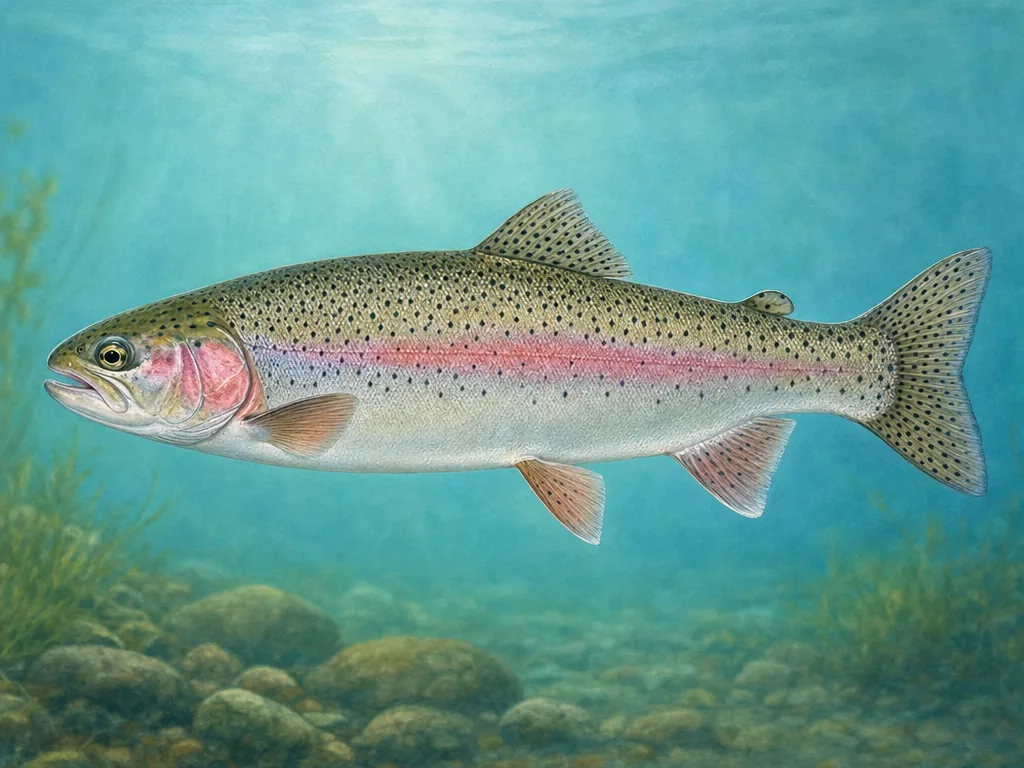
Field-guide illustration of a rainbow trout representing New Jersey's spring, fall, and winter stocking program
New Jersey's trout program uses named waters and seasonal closures; metropolitan reservoirs and the coast require separate access systems.

License

Use New Jersey Fish and Wildlife for current freshwater licenses, trout stamps, age requirements, and exemptions; verify marine registry requirements separately.

New Jersey fishing licenses

Regulations

Read current freshwater rules, trout-stocked-water provisions, boundary waters, reservoir exceptions, and marine species regulations.

New Jersey fishing regulations

New Jersey’s spring program can close designated waters during stocking periods before opening day. The published section, season, and trout stamp requirements matter. A stocking truck route does not make adjacent private banks public. Later fall or winter plants use different lists, so do not reuse a spring map without the current notice.

Reservoir access may require utility permission

Some major north Jersey reservoirs protect drinking water and issue separate access permits or limit boats, seasons, and entry points. State fishing licenses do not override those property rules. County park lakes and suburban ponds use their own hours. Identify the landowner before treating visible water as a public shoreline.

River and shore trips split at the tide

The Delaware requires stage, border, and launch awareness, while Raritan Bay and Atlantic access use tides, marine species rules, and beach conditions. Sandy Hook can close areas for weather, wildlife, or operations. Inlets create powerful current and unstable footing. Match the closest tide station to the actual coast, and use the consumption advisory for a named river, estuary, or species before keeping fish.

Choose an area that fits the trip

North Jersey Highlands

Cold streams, Wanaque and Newark watershed reservoirs, state parks, and glacial lakes support trout, bass, pickerel, and landlocked salmon.

Newark–New York metro edge

County park lakes, Passaic and Hackensack systems, reservoirs, piers, and harbor access involve dense but fragmented public shoreline.

Delaware and Pine Barrens

Delaware River, tributaries, cedar water, state forests, and south Jersey ponds support shad, smallmouth, pickerel, bass, and panfish.

Jersey Shore

Raritan Bay, Sandy Hook, barrier islands, inlets, back bays, piers, and offshore trips follow tides, marine rules, beach fees, and storms.

Official and local planning resources