MS

Fishing in Mississippi

Delta oxbow flood cycles · crappie reservoirs under flood control · barrier-island and marsh fishing

What to know before fishing Mississippi

Mississippi fishing spans Delta oxbows, flood-control reservoirs, state fishing lakes, pine-country rivers, coastal marsh, barrier islands, and Gulf water. Check the license and named-water rule, then the lake manager, Mississippi River stage, spillway or reservoir condition, tide, storm closure, and fish-consumption advisory.

Floodplain connection defines many western waters, while north-central reservoirs operate for federal flood control and the coast follows salinity, tides, and hurricane recovery. State lakes and community waters offer more contained access but still use site-specific hours and reports.

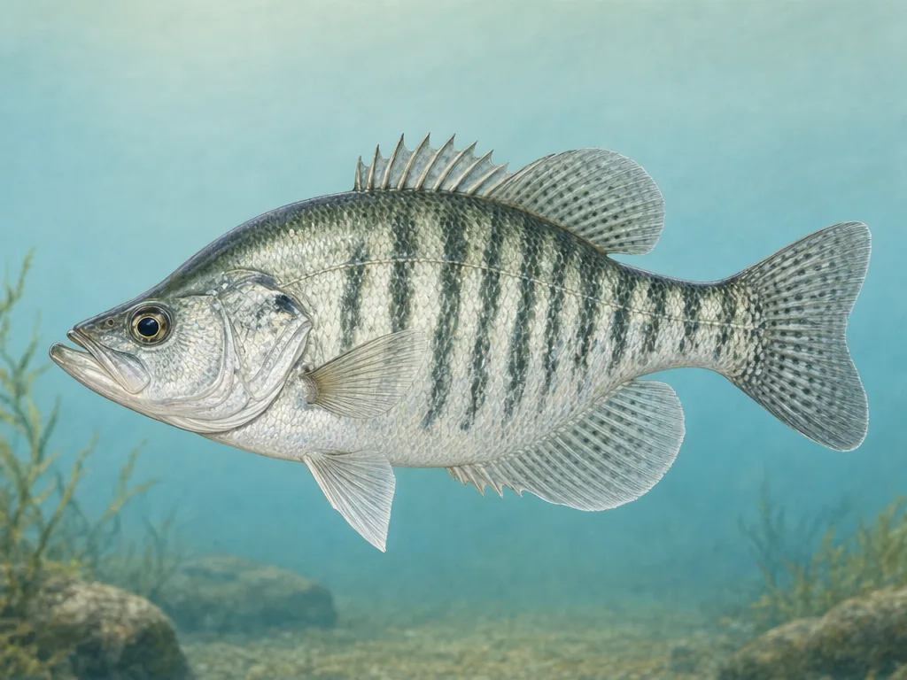
Field-guide illustration of a white crappie representing Mississippi's Delta lakes and north-state flood-control reservoirs
Crappie are a Mississippi reservoir signature, but flood-control levels and ramp conditions can redefine access through the year.

License

Use the Mississippi Department of Wildlife, Fisheries, and Parks for current freshwater, saltwater, youth, senior, and nonresident requirements.

Mississippi fishing licenses

Regulations

Read current freshwater rules and named-water exceptions; use the marine agency's rules for coastal and saltwater species.

Mississippi fishing regulations

Flood control sets the reservoir calendar

Sardis, Enid, Grenada, and Arkabutla operate with seasonal pools and flood-storage obligations. Water can retreat far from a familiar shoreline, expose hazards, or make one ramp unusable. Consult the project page and current level. Productive crappie habitat and access therefore move through a different cycle than a natural lake’s fixed shoreline.

Delta waters reconnect and separate

Mississippi River stage influences oxbows, chutes, and backwaters through direct or indirect connections. Rising water may expand habitat and complicate current; falling water can isolate ramps or concentrate fish. Use the gauge nearest the relevant reach, not simply the state line. Private levees and agricultural roads are not public access without permission.

Coastal fishing needs a storm-status check

Piers, islands, launches, and channels can change after tropical weather. Confirm the managing agency’s closure notice, then use tide and marine conditions for the intended bay or barrier island. Saltwater licensing and species rules differ from inland regulations. State lake reports are helpful for managed freshwater sites, but each site’s gates, fees, and local rules remain part of the plan.

Choose an area that fits the trip

Mississippi Delta

Oxbows, brakes, bayous, and Mississippi River access support crappie, catfish, bass, bream, and gar under changing flood connections.

North Mississippi reservoirs

Sardis, Enid, Grenada, and Arkabutla combine nationally known crappie fisheries with flood-control pools, exposed flats, and changing ramps.

Central and south Mississippi

Ross Barnett, state lakes, Pearl River, and pine-belt streams provide urban, reservoir, bass, catfish, and sunfish access.

Mississippi Gulf Coast

Pascagoula marshes, Biloxi Bay, Gulfport piers, barrier islands, and nearshore reefs require marine rules, tides, wind, and storm-status checks.

Official and local planning resources