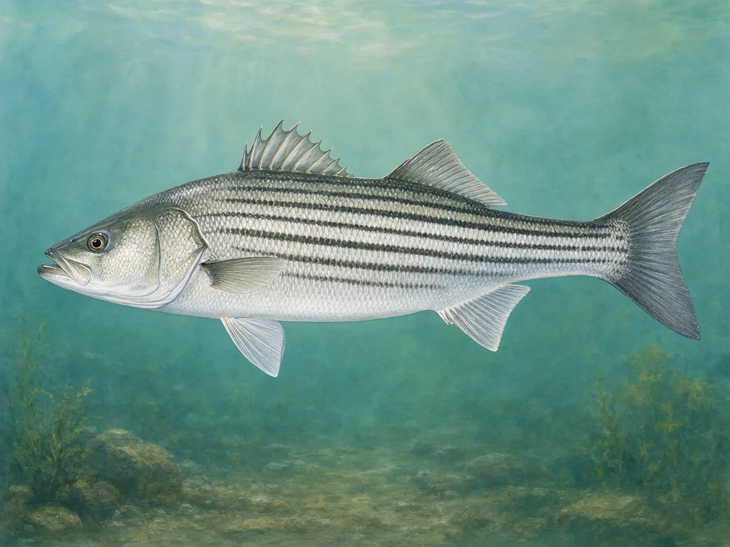
Chesapeake Bay and striped bass · put-and-take and delayed-harvest trout · Potomac border water
What to know before fishing Maryland
Maryland compresses mountain trout, Potomac smallmouth water, urban reservoirs, tidal rivers, Chesapeake Bay, and Atlantic coast fishing into a short drive. Identify whether the destination is nontidal, tidal, bay, or ocean water first; license privileges, seasons, catch reporting, advisories, and access authorities change across those boundaries.
A useful Maryland plan follows drainage and salinity rather than county lines alone. Western streams respond to temperature and flow, central reservoirs have local ownership rules, the Potomac carries boundary questions, and Chesapeake trips depend on tides, weather, and current striped-bass management.
Striped bass connect the Chesapeake and tidal tributaries, while western and central trout waters use a separate seasonal framework.
License
Review current nontidal and Chesapeake Bay and Coastal Sport license privileges, exemptions, registrations, and trout stamp requirements.
Maryland’s nontidal and tidal licenses are more than sales categories. They point to different regulation systems. A Chesapeake tributary can change character and rules as it becomes tidal, while an inland trout stream may carry a management-area provision for one reach. Confirm the boundary and species rule before interpreting a map or report.
Central access can belong to a city
Loch Raven, Prettyboy, and Liberty are drinking-water reservoirs managed by Baltimore City even though much of their shoreline lies outside the city. Boating, access, and permitted activity therefore come from the reservoir authority, not only DNR. The Potomac adds another jurisdiction question: bank, launch, and license choices may depend on which side and reach is used. The C&O Canal page helps identify federal corridor access but does not replace current Maryland fishing law.
Bay conditions are part of legality and safety
Chesapeake planning should include the current striped-bass measures, tide, wind, and heat-related advisories. A season can contain closures or handling provisions that are easy to miss in a general summary. On the Atlantic edge, Assateague vehicle and protected-area rules affect surf access. Check consumption advice for a named tributary when keeping fish; Maryland advisories are not uniform across the bay.
Choose an area that fits the trip
Western Maryland
Garrett and Allegany county streams, reservoirs, and delayed-harvest reaches support trout and smallmouth trips shaped by elevation and flow.
Central Maryland
Baltimore reservoirs, Patapsco and Gunpowder corridors, and suburban ponds combine coldwater, warmwater, and local watershed access rules.
Potomac corridor
Upper-river smallmouth, C&O Canal access, tidal reaches, and border-water questions require exact launch and jurisdiction checks.
Chesapeake and Atlantic shore
Bay tributaries, fishing piers, Eastern Shore ponds, surf, inlets, and ocean water follow tides, marine weather, and coastal species rules.
Stocking records for selected waters
These internal reports are selected from normalized public stocking records. Confirm live access and regulations with the agency before traveling.