Kentucky and Barkley reservoir complex · Cumberland tailwaters and striped bass · Fishing in Neighborhoods lakes
What to know before fishing Kentucky
Kentucky fishing spans enormous western reservoirs, Ohio River tributaries, cave-country streams, mountain tailwaters, farm ponds, and neighborhood lakes. Check the exact water's exceptions and access manager, then current reservoir level, river flow, stocking schedule, and fish advisory. Border waters can add reciprocal-license questions.
Kentucky and Barkley lakes define the west, Cumberland and Dale Hollow anchor south-central coldwater and warmwater trips, and eastern streams add stocked trout and mountain access. Louisville, Lexington, and other communities use the FINs program for close-to-home fishing.
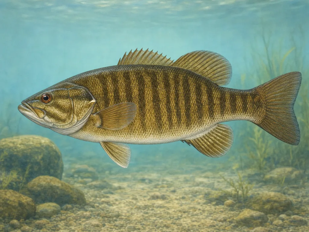
Smallmouth bass connect Kentucky's large clear reservoirs and streams; trout, crappie, catfish, and urban plants broaden the state's options.
License
Use Kentucky Fish and Wildlife for current resident, nonresident, short-term, trout, and joint fishing privileges.
Kentucky and Barkley form a connected system with long embayments and access on both sides of Land Between the Lakes. Wind, current, seasonal pool, and ramp location can matter more than straight-line distance. Identify the launch and check the federal project information. Reciprocal provisions do not make every nearby cove or tributary legally identical.
Stocking serves different fisheries
Kentucky’s records include monthly trout plants, urban FINs schedules, tailwater releases, and warmwater management. A FINs stocking is designed for a named community lake and should be paired with park hours. A reservoir or river stocking may support a longer-term fishery. Read the water-specific rule before interpreting any date, particularly around delayed-harvest or catch-and-release trout periods.
Mountain and tailwater conditions move quickly
Eastern streams can rise after localized rain, while Cumberland-system tailwaters respond to generation far upstream. A general weather forecast cannot replace the nearest gauge or dam schedule. Steep reservoirs also lose access as pools change. Choose a backup ramp or bank site and check the health advisory if fish will be eaten, especially on long river systems where guidance varies by reach.
Choose an area that fits the trip
Western waterland
Kentucky and Barkley lakes, lower Ohio, Tennessee, and Cumberland rivers support bass, crappie, catfish, sauger, and extensive federal access.
Louisville and central Kentucky
Ohio River access, FINs lakes, Elkhorn Creek, and city parks provide local bank, kayak, and stocked fishing opportunities.
Lake Cumberland region
Cumberland, Dale Hollow, Laurel, and tailwaters combine striped bass, trout, smallmouth, steep terrain, changing pools, and generation.
Eastern Kentucky
Mountain streams, Paintsville, Dewey, Fishtrap, and reclaimed-mine waters support trout, bass, crappie, catfish, and remote road access.
Stocking records for selected waters
These internal reports are selected from normalized public stocking records. Confirm live access and regulations with the agency before traveling.