A short coast carries big-water risk
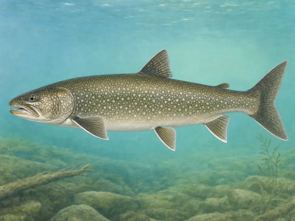
Indiana’s Lake Michigan shoreline is geographically small but exposed to waves, current, cold water, and rapidly changing wind. Pier and beach access can close for weather or construction. Salmon and trout may move between lake and tributary, bringing seasonal and stream-specific rules. Check the marine forecast and the exact property, not only a fishing report from another port.
Northern lakes require access precision
The natural lakes region contains dense water but uneven public access. A public ramp does not imply public shoreline, and parking capacity can define an early-season trip. Use the DNR map to identify the facility and read lake-specific limits where present. Stocking records may describe walleye, muskie, trout, or other long-term management; they do not promise recently stocked catchable fish.
Central and southern water follows infrastructure
Indianapolis ponds are governed by city hours and park conditions. Southern reservoirs respond to flood-control operations, levels, and ramp elevations, while the Ohio River and its tributaries require stage awareness. Choose the appropriate conditions source for the water type. If the catch will be eaten, Indiana’s advisory system is the correct final check because guidance varies by waterbody, species, and angler category.