island-specific regulated marine areas · customary and subsistence fishing context · Kōkeʻe upland trout
What to know before fishing Hawaii
Hawaii fishing is primarily marine and island-specific, with reef, shoreline, harbor, deepwater, and limited upland freshwater opportunities. There is no useful one-rule shoreline summary: check the species, gear, season, regulated-area map, cultural or subsistence designation, county access, swell, tide, and current health notice for the exact coast.
Distance between islands and sharp exposure differences make locality essential. A protected leeward bay, an exposed north shore, an Oʻahu harbor, and Kauaʻi's Kōkeʻe uplands require different safety and regulatory sources. Respect for customary practice and place-based management is part of planning.
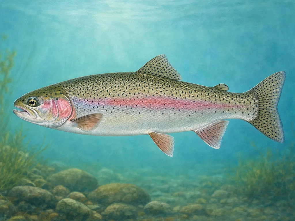
Rainbow trout are a narrow Kauaʻi upland specialty; most Hawaii fishing is marine and governed by island- and area-specific rules.
License
Use the Division of Aquatic Resources for current freshwater licenses, special permits, and explanations of where marine registration or other authorization applies.
Regulated areas are part of species identification
Hawaii’s rules pair statewide size and season provisions with marine life conservation districts, refuges, fisheries management areas, and community subsistence fishing areas. A legal species and method elsewhere may be restricted at the chosen shoreline. Open the map for that island and learn local names accurately; identification mistakes can affect protected reef fish as well as harvest limits.
Ocean safety begins before the parking lot
Swell direction, tide, wind, lava ledges, and remote access determine whether shore fishing is reasonable. Calm-looking leeward water can still receive distant swell, and wet basalt offers little margin. Use current surf and marine warnings in addition to tide predictions. County parks can close gates or shore areas, while cultural and archaeological sites require careful, respectful access.
Kōkeʻe is a deliberate exception
Kauaʻi’s upland public fishing area supports a seasonal freshwater trout opportunity with its own license and rules. It should not be generalized to other islands or confused with lowland introduced-fish waters. Check the current DLNR notice, road and weather conditions, and designated area. For marine catches, ciguatera risk depends on species and place and cannot be determined by appearance or cooking.
Choose an area that fits the trip
Oʻahu
Urban shorelines, harbors, reefs, and windward or leeward coasts combine dense access with marine life conservation districts and local park rules.
Maui Nui
Maui, Molokaʻi, and Lānaʻi coasts vary sharply in exposure, reef habitat, community management, harbor access, and interisland weather.
Hawaiʻi Island
Lava shorelines, steep drop-offs, bays, fishpond landscapes, and remote coasts require wave judgment, protected-area checks, and long access drives.
Kauaʻi and Kōkeʻe
Reef and estuary fishing is joined by a distinctive upland public fishing area where seasonal trout rules and freshwater licensing apply.