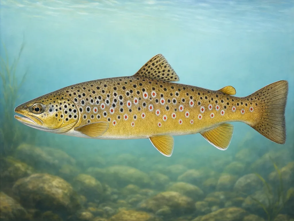
Trout labels change how a stream fishes
North Georgia’s blue-line density can hide important legal differences. A general trout stream, delayed-harvest reach, artificial-lure section, and year-round tailwater are not interchangeable. Confirm the named stream and boundary before using the weekly stocking report. On the Chattahoochee below Buford Dam, generation and cold water add a safety decision that does not appear in a creel limit; review current river and release information before wading.
Reservoir planning starts with the manager
Georgia’s large reservoirs often sit on federal projects or state borders. Lake Lanier access is spread among USACE parks, marinas, counties, and local facilities. Hartwell and other border waters can introduce reciprocal-license or boundary questions. For a shore trip, identify the actual park and gate hours. For a boat trip, check levels, ramp status, and weather as well as DNR fishing information.
The coast uses a separate rhythm
Coastal fishing follows tides, marsh access, and saltwater species rules rather than the trout calendar. Public piers can simplify access around Savannah and Brunswick, but facilities may close for weather or repairs. Barrier islands and national wildlife refuges can restrict vehicles, camping, or particular shore areas. Match the tide station to the closest inlet and consult the current consumption guidance when keeping fish from a named estuary or river.