Runoff redraws the river map
Late spring can produce high, cold, turbid flows on one river while a dam-controlled tailwater remains fishable and a high lake stays frozen. Use the closest USGS gauge and understand whether it is upstream or downstream of a major dam. A numerical flow still needs context: wading difficulty varies with channel shape, and release changes can arrive after the weather has cleared.
High-country access lags the calendar
Mountain roads, passes, and trails can retain snow into summer. Fire restrictions or closures may replace snow as the limiting issue later. The fishing atlas identifies water and access context, but the Forest Service, BLM, county, or park manager confirms the route. Stocking in a high lake may involve small fish and a rotational schedule rather than catchable trout delivered beside a road.
Urban and trophy waters serve different goals
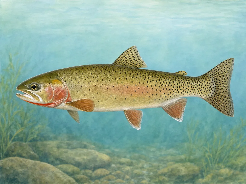
Front Range ponds and reservoirs provide bass, catfish, panfish, trout, and walleye near population centers. Trophy trout reservoirs and native-cutthroat streams may use restrictive limits or closures. Read the named water rule instead of carrying an urban-lake assumption uphill. During winter, seek current local ice observations and treat every inlet, pressure ridge, aerator, and warm spell as a new safety question.