CA

Fishing in California

Sierra trout and snow access · Pacific coast and bay fishing · salmon, steelhead, and Delta rules

What to know before fishing California

California fishing changes sharply between the Pacific coast, Delta, Sierra, volcanic northeast, and warm southern reservoirs. Start with the rulebook for the exact district and water, then check ocean or inland regulations, a plant report when trout are the target, and the land manager for fire, snow, launch, or access restrictions.

No single California season describes the state. Snowpack controls mountain access, marine districts carry species-specific ocean rules, anadromous rivers can change in season, and urban lakes operate under local park schedules. Plan from the water outward rather than treating the statewide license as a complete trip plan.

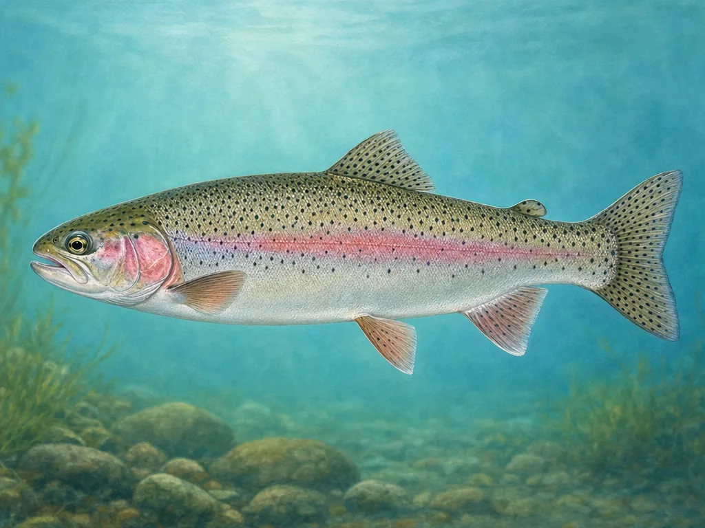
Field-guide illustration of a rainbow trout representing California's planted lakes and mountain streams
Rainbow trout link city-adjacent plants with Sierra and northeastern coldwater fisheries, but access and rules differ by district.

License

Use the California Department of Fish and Wildlife license page for current resident, nonresident, short-term, ocean enhancement, and report-card requirements.

California sport fishing licenses

Regulations

Choose the current inland, ocean, or supplemental rule set and verify the named water, district, species, gear, and report-card requirement.

California fishing regulations

Choose the regulatory system first

California separates inland sport fishing, ocean sport fishing, and several report-card fisheries. That distinction matters before selecting tackle or a launch. A Sierra reservoir, a Delta channel, and a Pacific pier can be close on a trip map while operating under different documents. Anadromous rivers may also have named reach boundaries, low-flow closures, or in-season changes. Search the exact water and county in the current rule set instead of relying on a statewide species summary.

Mountain access follows water and fire

The Sierra season is governed as much by snow and land management as by fish. A lake may be legal to fish while its pass, forest road, campground, or trailhead remains closed. Later in summer, wildfire restrictions or smoke can change the sensible destination. The eastern Sierra plant report is useful for recent agency activity, but it cannot confirm a road or wilderness permit; pair it with Inyo or the relevant forest notice.

Coastal and city trips need local checks

Ocean anglers should match the marine district, protected-area boundary, tide, and species rule. Around metropolitan lakes, check county hours, parking, local permits, and whether shore access is actually open. California’s health advisories are especially water-specific in bays, reservoirs, and the Delta. These local decisions are why a promising statewide map pin is only the beginning of a California plan.

Choose an area that fits the trip

Sierra Nevada

High lakes, reservoirs, and east- and west-slope rivers depend on snowmelt, road openings, wilderness access, and water-specific trout rules.

Sacramento–San Joaquin system

The Delta and connected rivers mix striped bass, salmon, sturgeon, and warmwater opportunity with advisories and moving seasonal regulations.

North Coast and volcanic northeast

Redwood rivers, spring creeks, and lakes around Shasta, Lassen, and Modoc country require separate checks for anadromous runs, fire, and forest access.

Southern California metros

County lakes and reservoirs around Los Angeles, Orange County, Inland Empire, and San Diego emphasize local gates, permits, stocking calendars, and shore access.

These internal reports are selected from normalized public stocking records. Confirm live access and regulations with the agency before traveling.

State stocking guide →

Official and local planning resources