AR

Fishing in Arkansas

Ozark trout tailwaters · highland reservoirs · Delta oxbows and floodplain rivers

What to know before fishing Arkansas

Arkansas fishing combines cold Ozark tailwaters, free-flowing mountain rivers, large highland reservoirs, Delta oxbows, and city fishing lakes. Check the named water's rule and access owner, then use dam generation, river stage, lake level, or stocking information according to the trip. Tailwater conditions can change without rain at the access.

Trout are a regional specialty below north Arkansas dams, not a statewide template. Bass, crappie, catfish, sunfish, and seasonal species dominate many reservoirs and lowland systems, while public access is divided among AGFC, USACE, National Park Service, state parks, cities, and private facilities.

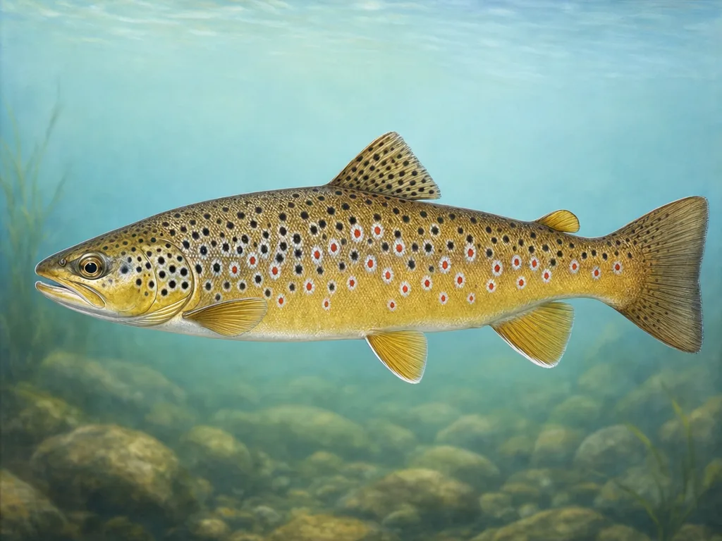
Field-guide illustration of a brown trout representing Arkansas's cold Ozark tailwaters
Arkansas trout fishing is concentrated below cold dam releases and in selected spring systems; most of the state is warmwater habitat.

License

Use the Arkansas Game and Fish Commission for current fishing, trout, nonresident, and short-term license requirements.

Arkansas fishing licenses

Regulations

Read current statewide rules plus trout-water, special-regulation, border-water, and named-lake exceptions.

Arkansas fishing regulations

Tailwaters are controlled rivers

The White, Norfork, and Little Red can rise quickly when upstream dams generate. Check the project schedule, but also watch warning signals and local water because operating needs can change. Cold water adds hypothermia risk even on warm days. Special trout zones may change tackle or harvest at a bridge or shoal, so read the reach rather than applying one river-wide rule.

Highland lakes reward access planning

Ozark and Ouachita reservoirs have long, branching shorelines and many independent facilities. A closed cove ramp can leave the next usable launch far away. Confirm lake level, ramp status, and wind before traveling. Historical stockings of walleye, striped fish, or forage species show management direction; they do not locate fish in a reservoir containing hundreds of shoreline miles.

Free-flowing and Delta water behaves differently

The Buffalo responds directly to rainfall and can become dangerous or inaccessible during high flow. Delta oxbows and lowland rivers rise, reconnect, and warm with flood cycles. Navigation structures add current on the Arkansas River. Select the relevant gauge and access owner for each system. Community lakes near Little Rock and other cities offer simpler geography, but still use local park hours and program-specific stocking schedules.

Choose an area that fits the trip

North Arkansas tailwaters

White, Norfork, Little Red, and Spring systems support trout under dam releases, cold water, special reaches, and federal reservoir operations.

Ozark and Ouachita lakes

Bull Shoals, Beaver, Greers Ferry, Ouachita, and smaller mountain lakes support bass, crappie, walleye, striped fish, and long boat trips.

Central Arkansas

Little Rock-area lakes, Arkansas River pools, and state fishing waters combine urban banks, navigation structures, and current.

Delta and south Arkansas

Oxbows, bayous, lowland rivers, timbered lakes, and Delta heritage waters emphasize catfish, crappie, bass, gar, and flood cycles.

Official and local planning resources